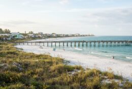
Port Aransas is gaining renewed national recognition for water clarity and beach quality that distinguish it among Texas coastal destinations. A recent Travel + Leisure feature comparing the town to Caribbean beaches has refocused attention on the characteristics that make this barrier island community unique along the Gulf Coast.
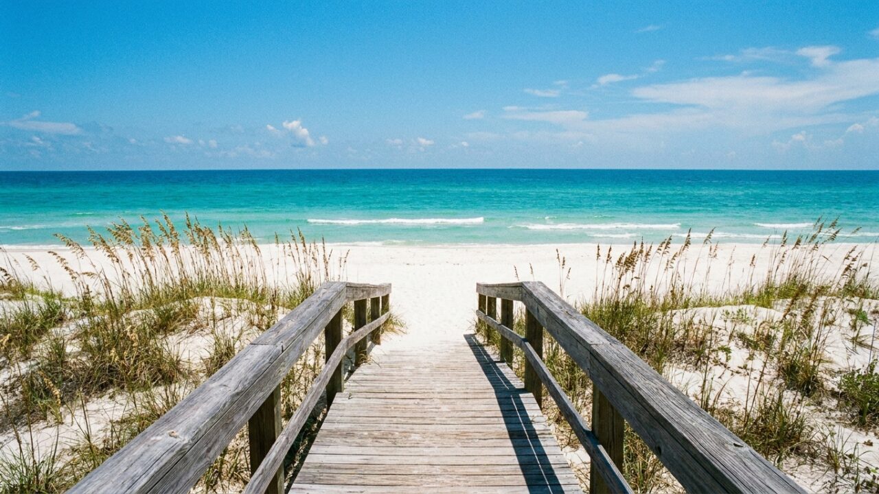
The barrier island geography creates conditions different from mainland beaches. Mustang Island’s position allows for water circulation patterns that can produce clearer conditions than bays or shores directly adjacent to river outflow. When wind and current patterns align, the water off Port Aransas displays turquoise hues more commonly associated with tropical destinations.
What Creates Clear Water Conditions
Water clarity along the Texas coast varies significantly based on multiple factors. River sediment from the Brazos, Colorado, and other waterways affects beaches to the north and south. Port Aransas sits in a zone where offshore currents sometimes bring clearer Gulf water directly to shore.
The distance from major river mouths matters. While South Padre Island often claims the clearest Texas water due to its distance from the Mississippi River delta influence, Port Aransas benefits from its position and the channel dynamics created by the Aransas Pass ship channel nearby.
Sand composition also plays a role in the comparison. The shells and quartz particles that make up local beaches reflect light differently than the darker sand found at some Texas locations. After storms or when particular wave actions occur, this creates the white sand appearance mentioned in tropical beach comparisons.
Seasonal Patterns and Visitor Expectations
Beach conditions fluctuate throughout the year. Summer typically brings calmer Gulf conditions with better visibility. Spring break crowds arrive expecting clear water but sometimes encounter murkier conditions after cold fronts or when winds push bay water toward the Gulf side of the island.
Local guides and charter captains note that water clarity peaks during certain tide cycles and wind patterns. Offshore winds from the west or northwest generally produce the clearest conditions, while onshore winds from the southeast can stir up sediment and bring in darker water.
The marketing comparison to Caribbean destinations raises questions about realistic visitor expectations. While Port Aransas occasionally achieves remarkable clarity, consistency differs from tropical islands surrounded by deeper water with less continental runoff.
Impact on Local Tourism Economy
National media attention typically produces measurable increases in tourism interest. Property managers and hotel operators in Port Aransas monitor booking patterns following major publications. Features in outlets like Travel + Leisure have historically generated inquiry spikes, particularly from markets in Dallas, Houston, Austin, and San Antonio.
The town’s tourism infrastructure has evolved to accommodate visitors seeking beach quality experiences. Recent years have seen expansion of beachfront accommodations, improved beach access points, and services catering to visitors prioritizing water activities over fishing, which previously dominated the local tourism identity.
This positioning creates both opportunities and challenges. Higher visitor volumes during peak periods can stress infrastructure including parking, beach access, and services. Town officials balance promoting the destination with managing capacity on an island with limited space and resources.
How Port Aransas Compares Regionally
Among Texas barrier islands, each location offers distinct characteristics. South Padre Island markets itself as having the state’s best water clarity and warmest temperatures. Galveston provides urban amenities and proximity to Houston. Padre Island National Seashore protects undeveloped coastline for nature-focused visitors.
Port Aransas occupies a middle position geographically and in terms of development density. The town maintains a less built-up atmosphere than South Padre while offering more services than national seashore areas. This balance appeals to visitors seeking beach quality without resort-scale density.
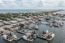
The fishing heritage remains central to local identity despite increased emphasis on general beach tourism. Charter operations, fishing piers, and related businesses continue as economic anchors alongside accommodations serving beach visitors.
Environmental Factors Behind Beach Quality
Offshore features influence local conditions. The continental shelf extends further from shore in this region compared to areas north or south, affecting wave patterns and sediment movement. Bottom composition and depth contours shape how water appears from the beach.
Weather patterns play an ongoing role. Hurricane recovery continues to shape island topography years after major storms. Beach renourishment projects and natural sand movement constantly reshape the shoreline. What visitors see today differs from conditions five or ten years ago and will change again.
Seagrass beds and other nearshore habitats affect water clarity through natural filtration. Environmental protection efforts for these systems have implications beyond wildlife, influencing the beach experience that draws visitors.
Practical Considerations for Beach Visitors
Visitors planning trips based on water clarity should understand variability. Real-time beach condition reports and webcams provide more reliable information than seasonal generalizations. Local social media groups and fishing reports often include water clarity observations.
Beach access logistics matter as much as water quality for many visitors. Port Aransas offers both vehicular beach access and designated swimming areas with amenities. Understanding where to find specific conditions improves the visit experience.
Equipment suitable for salt and sand environments enhances beach time. Shade structures that withstand Gulf winds, coolers that handle heat, and gear that tolerates saltwater exposure matter for extended beach days. Local outfitters stock items tested in these specific conditions.
The comparison to Caribbean destinations will likely continue generating discussion among coastal residents and visitors. Whether the label accurately represents Port Aransas depends on timing, expectations, and which specific Caribbean beaches serve as the reference point. What remains consistent is the barrier island’s role as a distinct destination along the Texas Gulf Coast, with characteristics that set it apart from neighboring beaches during optimal conditions.