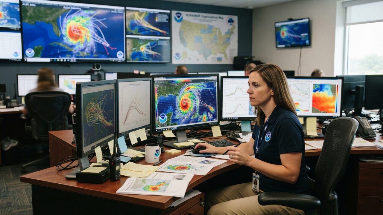
Nine years after Hurricane Harvey dumped record rainfall across the Texas Gulf Coast, the science of predicting these devastating storms has transformed in ways that directly affect how coastal residents prepare and evacuate. The improvements span from satellite technology orbiting thousands of miles above Earth to computational models that can process weather data thousands of times faster than those available in August 2017.
The National Hurricane Center now issues forecasts with significantly smaller error margins. Track predictions five days out have improved by roughly 30% since Harvey made landfall near Rockport. Intensity forecasts, historically the weakest link in hurricane prediction, have seen similar gains through better understanding of how storms interact with ocean temperatures and wind patterns.
What Changed After Harvey
Hurricane Harvey stalled over the Texas coast for days, an unusual behavior that challenged existing forecast models. The storm dropped more than 60 inches of rain in some areas, causing catastrophic flooding from Houston to Corpus Christi. While meteorologists successfully predicted the rainfall totals days in advance, the experience exposed gaps in how forecast information reached the public and how communities responded.
Since then, forecasters gained access to advanced geostationary satellites that capture images every 30 seconds instead of every 15 minutes. These rapid-scan capabilities allow meteorologists to observe storm structure changes in near real-time, providing clearer pictures of strengthening or weakening patterns. For coastal communities like Port Aransas and Rockport, this means more precise warnings about when conditions will deteriorate.
The NOAA Hurricane Hunters, who fly directly into storms to gather data, now deploy enhanced instruments that measure wind speeds, pressure, temperature, and humidity with greater accuracy. These measurements feed into computer models that generate the forecasts emergency managers use to order evacuations.
Better Models Mean Earlier Decisions
Computational advances allow the National Hurricane Center to run ensemble forecasts, which generate dozens of possible storm scenarios simultaneously. Instead of relying on a single predicted path, forecasters now examine a range of outcomes and assign probabilities to each. This approach helps identify situations where a storm might behave unexpectedly, as Harvey did.
For Gulf Coast travelers planning beach trips or fishing expeditions, these improvements translate to more reliable extended forecasts during hurricane season, which runs from June through November. A week-long vacation booked months in advance now comes with better advance warning if a tropical system threatens the area. Many vacation rental companies and hotels have adjusted their cancellation policies to reflect the improved forecast lead times.
The National Weather Service office in Corpus Christi has integrated these technological improvements into localized forecast products specific to the barrier islands and Coastal Bend communities. Forecasters can now predict with greater confidence how storm surge will affect specific beach access points, which fishing piers face the highest waves, and when conditions will improve enough for outdoor activities to resume safely.
Rainfall Forecasting Gets Sharper
Harvey’s most devastating impact came from unprecedented rainfall rather than wind. The storm produced what meteorologists call a 1-in-1,000-year rainfall event in parts of Houston. Current models better capture the atmospheric conditions that cause storms to stall and dump excessive rain, though predicting exactly where the heaviest bands will set up remains challenging.
Forecasters now use high-resolution models that can distinguish between rainfall rates in areas just miles apart. These models help identify which beach communities might see manageable rainfall versus which could face dangerous flooding. For RV travelers and campers along the coast, this precision matters when deciding whether to secure gear or evacuate entirely.
The NWS has also improved how it communicates rainfall threats through products like the Excessive Rainfall Outlook, which highlights areas at risk days before storms arrive. These outlooks include specific rainfall totals and flooding potential, moving beyond vague warnings to actionable information.
Ocean Observations Expand
Understanding ocean heat content has emerged as crucial for predicting rapid intensification, when hurricane winds increase dramatically in short periods. Since Harvey, NOAA has deployed additional ocean buoys and autonomous underwater vehicles that measure temperatures at various depths. Storms crossing areas of deep, warm water often strengthen quickly, while those encountering cooler water or shallow warm layers tend to weaken.
The Gulf of Mexico’s loop current, which brings warm Caribbean water northward, has come under closer observation. When this current extends toward the Texas coast, it can fuel storm intensification. Better tracking of these ocean features gives forecasters several days’ notice when conditions favor strengthening storms approaching Port Aransas and neighboring communities.
Communication Challenges Persist
Despite technological progress, getting forecast information into the hands of coastal residents and visitors remains an ongoing effort. The National Hurricane Center redesigned its graphics to emphasize forecast uncertainty, showing the full cone of possible paths rather than just a single line. Many people still misinterpret these graphics, focusing only on the center line and ignoring the broader area at risk.
Local emergency managers have developed apps and alert systems that translate National Hurricane Center forecasts into specific guidance for beach communities. These systems tell residents and visitors when to secure boats and outdoor equipment, when businesses should begin closing, and when evacuation becomes necessary.
For wildlife enthusiasts visiting coastal areas, improved forecasts allow better planning around storm impacts. Bird migrations along the Central Flyway, which passes through the Texas coast, can shift timing based on tropical weather patterns. Knowing a storm’s likely path several days in advance helps photographers and nature watchers adjust their trips accordingly.
What Still Needs Work
Intensity forecasting remains the most difficult aspect of hurricane prediction. While track forecasts have improved steadily for decades, predicting whether a storm will strengthen from Category 2 to Category 4 continues to challenge meteorologists. Small-scale features within hurricanes, like internal wind patterns and eyewall replacement cycles, develop too quickly for current models to capture reliably.
Researchers are developing new satellites and aircraft instruments specifically designed to observe these rapid changes. Some experimental systems use microwave sensors to peer through storm clouds and measure wind speeds at the ocean surface directly. These technologies may become operational within the next few years, potentially offering another leap forward in forecast accuracy.
The experience of Harvey fundamentally changed how meteorologists, emergency managers, and coastal communities approach hurricane threats. The technological improvements since 2017 provide more lead time and greater confidence in forecasts, but the ultimate measure remains how effectively this information protects lives and property when the next major storm approaches the Texas coast.