
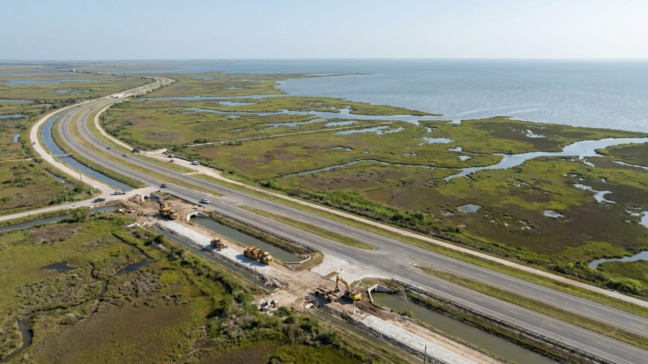
Corpus Christi officials have approved a comprehensive streets and stormwater infrastructure budget for 2027, allocating over $250 million to projects designed to improve flood resilience and road conditions throughout the coastal city. The plan addresses longstanding concerns about drainage capacity during tropical storms and the deteriorating state of roadways that connect mainland communities to barrier island destinations including Port Aransas and Mustang Island.
The budget prioritizes neighborhoods and arterial routes that have experienced repeated flooding during recent storm events. City planners identified more than forty street segments requiring immediate attention, with several projects focused on coastal evacuation routes that serve dual purposes as access corridors for beachgoers and emergency egress pathways during hurricane threats.
Stormwater Systems Take Priority
Nearly half the allocated funding targets stormwater infrastructure improvements, reflecting lessons learned from hurricanes Harvey, Hanna, and Nicholas. These systems proved inadequate during major rain events, leaving portions of the city underwater for days and cutting off access to popular coastal recreation areas.
The budget includes construction of new retention ponds, expansion of underground drainage channels, and installation of upgraded pump stations in low-lying neighborhoods. Engineers have designed these systems to handle rainfall rates that historically overwhelmed existing infrastructure, particularly in areas south of Oso Bay where development has accelerated without corresponding drainage capacity.
For coastal visitors and residents who rely on beach access, these improvements carry practical significance. Previous flooding events temporarily closed State Highway 361, the primary route to Padre Island National Seashore and Port Aransas. Extended closures during peak tourism seasons created economic hardship for barrier island businesses and frustrated travelers who found their planned beach trips canceled.
Road Repairs Address Safety Concerns
The streets portion of the budget focuses on resurfacing and structural repairs to roadways damaged by heavy truck traffic, saltwater exposure, and storm surge. Coastal highways face accelerated deterioration compared to inland routes due to constant salt air exposure and periodic inundation during high tides combined with heavy rainfall.
Ocean Drive, one of the city’s most scenic coastal routes, appears prominently in the repair schedule. The roadway has developed significant potholes and pavement cracks, creating hazards for cyclists and motorists while detracting from the waterfront experience that attracts visitors. Reconstruction plans call for improved base layers designed to withstand saltwater intrusion and heavy traffic volumes during peak beach season.
Industrial areas near the port also receive attention in the infrastructure plan. These routes carry equipment and supplies to offshore operations while serving recreational fishermen heading to boat launches and marina facilities. Road failures in these zones disrupt both commercial activity and outdoor recreation access.
The budget allocates resources for traffic signal upgrades at key intersections along routes to beach destinations. Modern signals with storm-resistant housings and backup power systems will maintain functionality during severe weather, addressing situations where signal failures created dangerous conditions as evacuees departed barrier islands ahead of approaching storms.
Barrier Island Connections
Several projects directly impact access to barrier island communities. The JFK Causeway, connecting the mainland to Padre Island, will receive structural assessments and targeted repairs. This bridge serves as a critical link for residents, tourists, and emergency responders, making its reliability essential for normal operations and crisis response.
Padre Island neighborhoods south of the National Seashore boundary will see drainage improvements designed to prevent the street flooding that has trapped residents during sudden thunderstorms. These areas lack the elevation of northern portions of the island, making them vulnerable to standing water that blocks access roads and damages vehicles.
Mustang Island connections through Port Aransas also factor into the planning, though those improvements fall partly under separate jurisdictional authority. City officials have coordinated with county and state transportation agencies to ensure compatible standards and timing for projects affecting through-routes to barrier island destinations.
Timeline and Implementation
The 2027 budget represents a multi-year capital improvement program with projects scheduled to begin in phases throughout the fiscal year. Early-stage initiatives focus on engineering studies and environmental permits, while construction on priority segments could commence by late spring.
City administrators expect some projects to cause temporary traffic disruptions, particularly along major corridors during peak tourist seasons. Coordination with beach tourism schedules aims to minimize impacts during spring break and summer vacation periods, though some inconvenience appears unavoidable given the scope of work required.
Funding sources include a combination of municipal bonds, state infrastructure grants, and federal coastal resilience programs. The diversified financing approach reduces burden on local property taxpayers while leveraging matching funds available for flood mitigation projects in hurricane-vulnerable communities.
Regional Implications
The infrastructure investment extends beyond Corpus Christi’s immediate boundaries, affecting the entire coastal bend region. Improved drainage and road conditions in the city create more reliable access for visitors traveling to barrier islands from inland areas. Beach communities depend on these mainland connections for tourist traffic that sustains coastal economies.
Regional emergency management coordinators view the stormwater improvements as enhancing evacuation capacity. Better drainage prevents the street flooding that previously slowed or blocked evacuation traffic attempting to leave barrier islands ahead of hurricanes. Cleared roadways allow faster movement of residents and tourists away from storm surge zones.
Environmental advocates have raised questions about how new drainage systems will handle stormwater quality before discharge into coastal bays. City officials indicate that design specifications include filtration and settling features intended to reduce pollutant loads, though specific performance standards remain under development.
The full project list and detailed engineering plans require final approval at upcoming city council sessions. Public comment periods will allow residents and business owners to review proposed work in their neighborhoods before construction authorization. Coastal property owners and beach access advocates are expected to participate actively in these review processes.
