
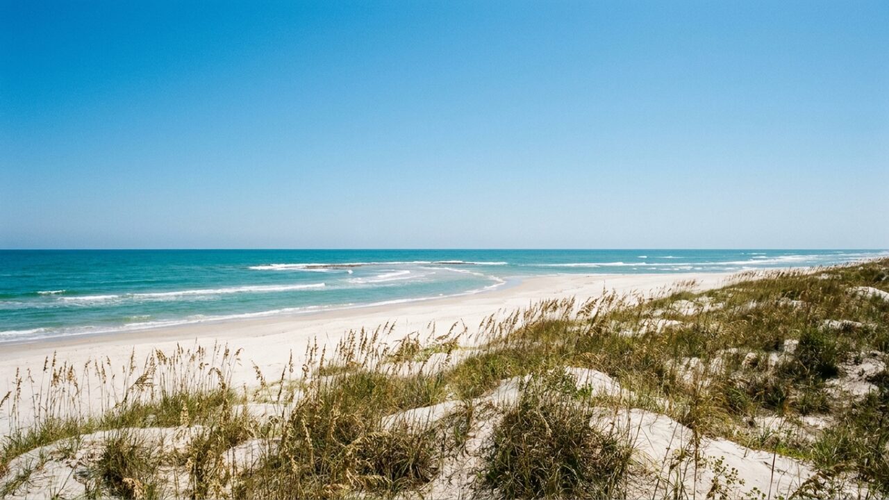
Port Aransas has earned a new nickname that locals have whispered for years: the “Caribbean of Texas.” The barrier island community, situated on Mustang Island along the central Texas coast, has gained national recognition for water clarity and sand quality that rivals destinations typically associated with tropical getaways.
The distinction comes from the unique combination of geological and oceanographic factors that converge along this eighteen-mile stretch of the Gulf Coast. Unlike much of the Texas shoreline where sediment from river systems creates murkier conditions, Port Aransas benefits from its position between major river outlets and from the particular way Gulf currents interact with the barrier island system.
What Makes Port Aransas Waters Stand Out
The water clarity at Port Aransas beaches varies throughout the year, but spring and early summer typically bring the most transparent conditions. During these periods, visibility can extend several feet below the surface, revealing sandy bottoms and occasional marine life that remains hidden at other Texas coastal locations.
Several factors contribute to this exceptional clarity. The island’s orientation creates natural filtering as waves pass over offshore sandbars before reaching the beach. Prevailing currents from the southeast often bring cleaner Gulf water directly to shore rather than coastal water influenced by bay systems. When winds remain light and wave action minimal, the conditions can genuinely resemble Caribbean waters.
The sand itself presents another distinguishing characteristic. Composed primarily of fine quartz particles, the beach surface remains soft and white compared to the coarser, darker sand found along other portions of the Texas coast. This composition reflects sunlight differently, contributing to the turquoise appearance of shallow water near shore.
How Barrier Island Geography Creates the Effect
Mustang Island functions as part of the chain of barrier islands protecting the Texas mainland from direct Gulf exposure. This positioning creates a complex relationship between bay water, Gulf water, and the passes that connect them. Port Aransas sits near the natural Aransas Pass, which allows tidal exchange but also influences local water conditions.
The configuration means that during certain tidal phases and wind conditions, water arriving at Port Aransas beaches has traveled across open Gulf rather than through bay systems or along the coast from areas with higher sediment loads. The Brazos River to the north and the Colorado River system farther up the coast deliver substantial sediment into the Gulf, but prevailing currents often carry this material away from Mustang Island.
Bathymetry plays a role as well. The offshore profile at Port Aransas features a gradual slope with sandbars positioned at depths that cause waves to break and deposit heavier particles before reaching shore. This natural filtration system removes some of the suspended material that would otherwise cloud the water.
Seasonal Variations and Optimal Visiting Times
Water clarity follows predictable seasonal patterns shaped by weather systems and biological cycles. Spring months from March through May often deliver the clearest conditions as winter storm systems diminish and summer algae blooms have not yet developed. Water temperatures during this window range from the mid-sixties to mid-seventies, comfortable for wading though still cool for extended swimming.
Summer brings warmer water but also introduces variables that can reduce clarity. Increased rainfall in the watershed areas can push more freshwater and sediment into the Gulf system. Algae and plankton populations expand with warmer temperatures and longer daylight, sometimes creating green-tinged water despite good visibility.
Fall, particularly September and October, presents another excellent window. Tropical weather systems remain a consideration, but calm periods between fronts can produce spectacular water conditions. The tourist crowds have thinned considerably, making beach access easier and the experience more comparable to the quiet Caribbean beaches the area now draws comparisons to.
Practical Considerations for Beach Visitors
Those planning to experience the Caribbean-quality waters should understand that conditions fluctuate. Checking recent beach reports and weather forecasts provides essential context. Offshore winds generally produce clearer water by pushing surface water away from shore and allowing deeper Gulf water to replace it. Onshore winds do the opposite, sometimes dramatically reducing visibility within hours.
Beach access points along Mustang Island vary in amenities and crowd levels. The area near the municipal beach park typically sees heaviest use, while sections farther north or south offer more solitude. Four-wheel-drive vehicles can access additional stretches of beach, though permits and appropriate equipment remain mandatory.
Water safety deserves attention regardless of clarity. Rip currents form along this coast, particularly near passes and channels. The clear water can create a false sense of security about ocean conditions. Checking flag warnings and understanding basic rip current escape techniques should precede any swimming activity.
Wildlife Encounters in Clear Water
The improved visibility at Port Aransas creates opportunities to observe marine life that remains hidden at other Texas beaches. Schools of baitfish often move through the shallows, occasionally pursued by predatory species. Stingrays glide over sandy bottoms in water shallow enough to spot them before accidental contact occurs.
Ghost crabs scuttle across the sand at the waterline, and various shorebird species probe for invertebrates in the surf zone. During certain periods, Portuguese man o’ war or other jellyfish arrive with offshore currents, their presence much more visible in clear water than murky conditions.
How This Recognition Affects the Community
The “Caribbean of Texas” designation brings increased attention to a community that has long balanced tourism with maintaining its character as a working fishing village. Increased visitation creates economic opportunities but also raises questions about infrastructure capacity and environmental protection.
Coastal development patterns directly influence the beach qualities that earned this recognition. Extensive hardening of the shoreline or disruption of natural sand movement could alter the conditions that create exceptional water clarity. Balancing growth with preservation of the natural systems that make Port Aransas distinctive represents an ongoing challenge.
Beach maintenance practices also matter. The community has generally resisted aggressive sand replenishment projects that import material from different sources, preferring to work with natural sand movement patterns. This approach helps maintain the characteristic white sand composition.
As more visitors arrive seeking Caribbean-quality experiences without Caribbean-distance travel, the coming seasons will test whether Port Aransas can accommodate increased interest while protecting the very qualities that distinguish it from other Texas coastal destinations.
